MetroForge
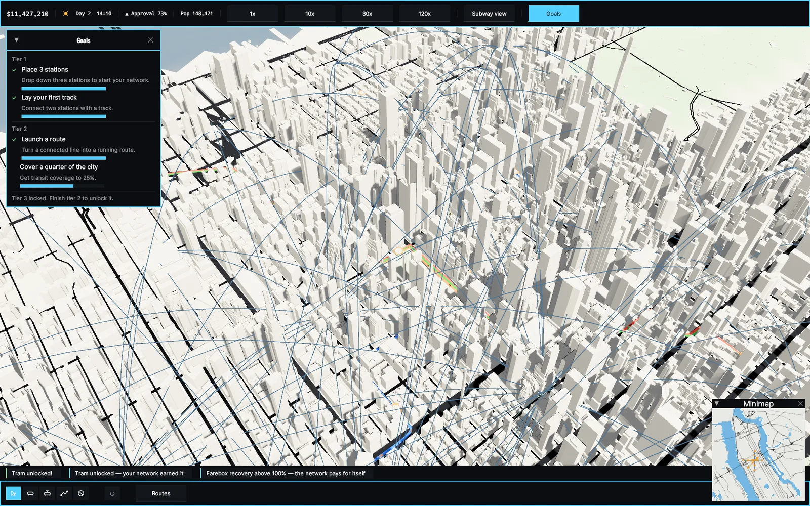
A transit builder for people who love real cities. MetroForge renders ten American cities in 3D from OpenStreetMap footprints with true building heights, then asks a simple question: where should the trains go?
Real cities, real scale
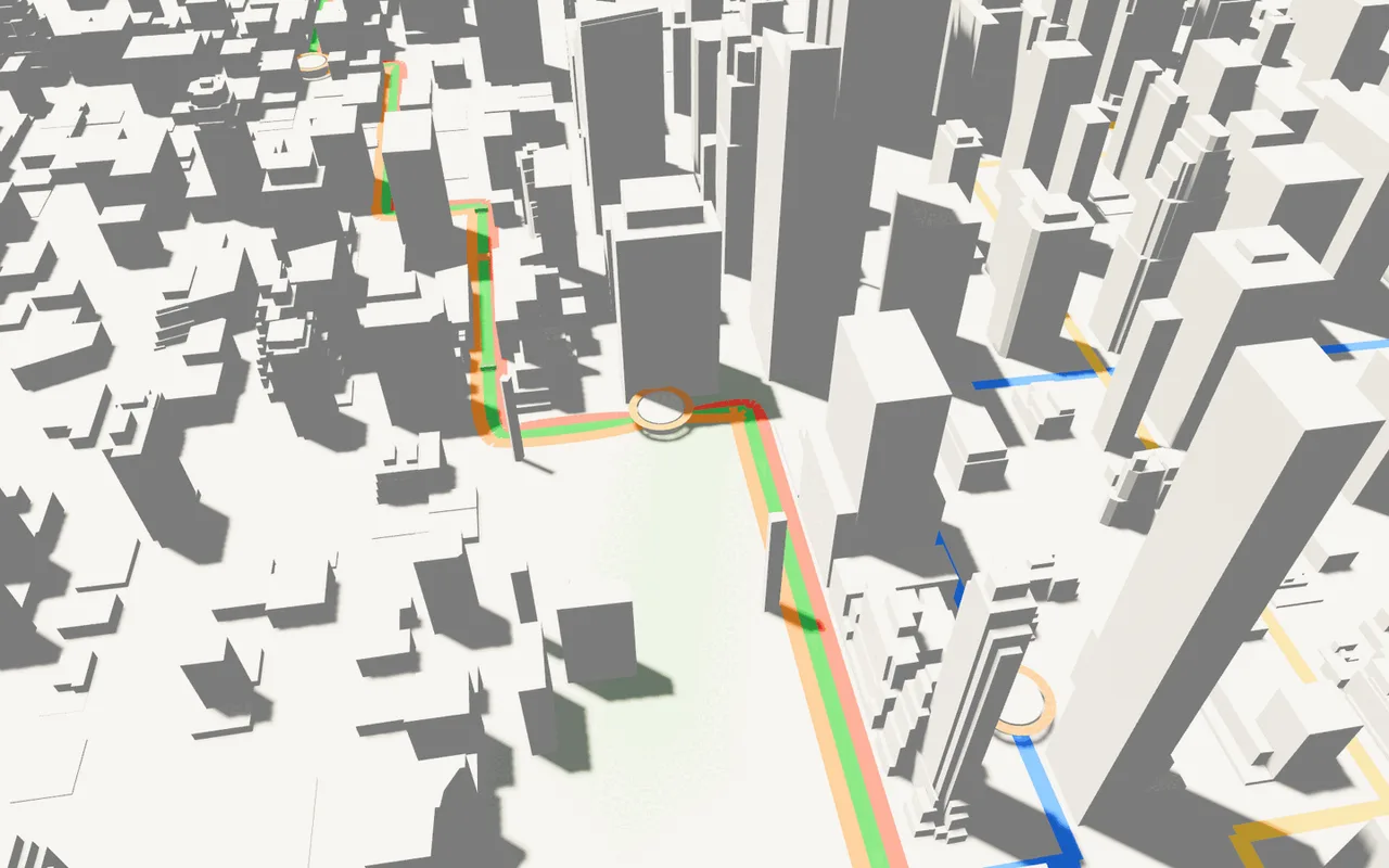
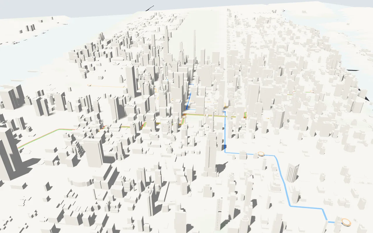
New York, Chicago, Los Angeles, Boston, San Francisco, Washington, Philadelphia, Atlanta, Seattle, and Cleveland, each built from its actual street grid and parcel data. Building heights are joined from OpenStreetMap tags and Microsoft's footprint dataset, so Manhattan's canyons and Cleveland's lakefront look like themselves, not like procedural filler.
Networks that get judged
Lay track through the streets that exist and place stations where the density is. A demand model routes commuters through your network on real travel-time math and tells you whether anyone would actually ride. Bad service loses riders to the road, every time.
Runs on ordinary hardware
Native client for Windows, macOS, and Linux. Cel-shaded, no ray tracing, under 500 MB installed, and comfortable on integrated graphics. New alpha builds ship most weeks. The browser demo is two minutes of Cleveland: place stations, draw a route, and watch the buses run.
Common questions
What are the system requirements?
Windows 10 or newer, macOS 12 or newer (Apple Silicon), or Linux. Any 64-bit dual-core CPU from the last decade, 4 GB of RAM, and integrated graphics with Vulkan, Metal, or DX12 support. Under 500 MB of storage.
What does it cost?
Nothing while it is in active development. Download it, break it, and tell us what happened.
How finished is it?
It is an alpha. The core loop works: import a city, build a network, watch the demand model react. Expect rough edges and frequent updates; the changelog is public on the download site.